Professional Aerial Imaging
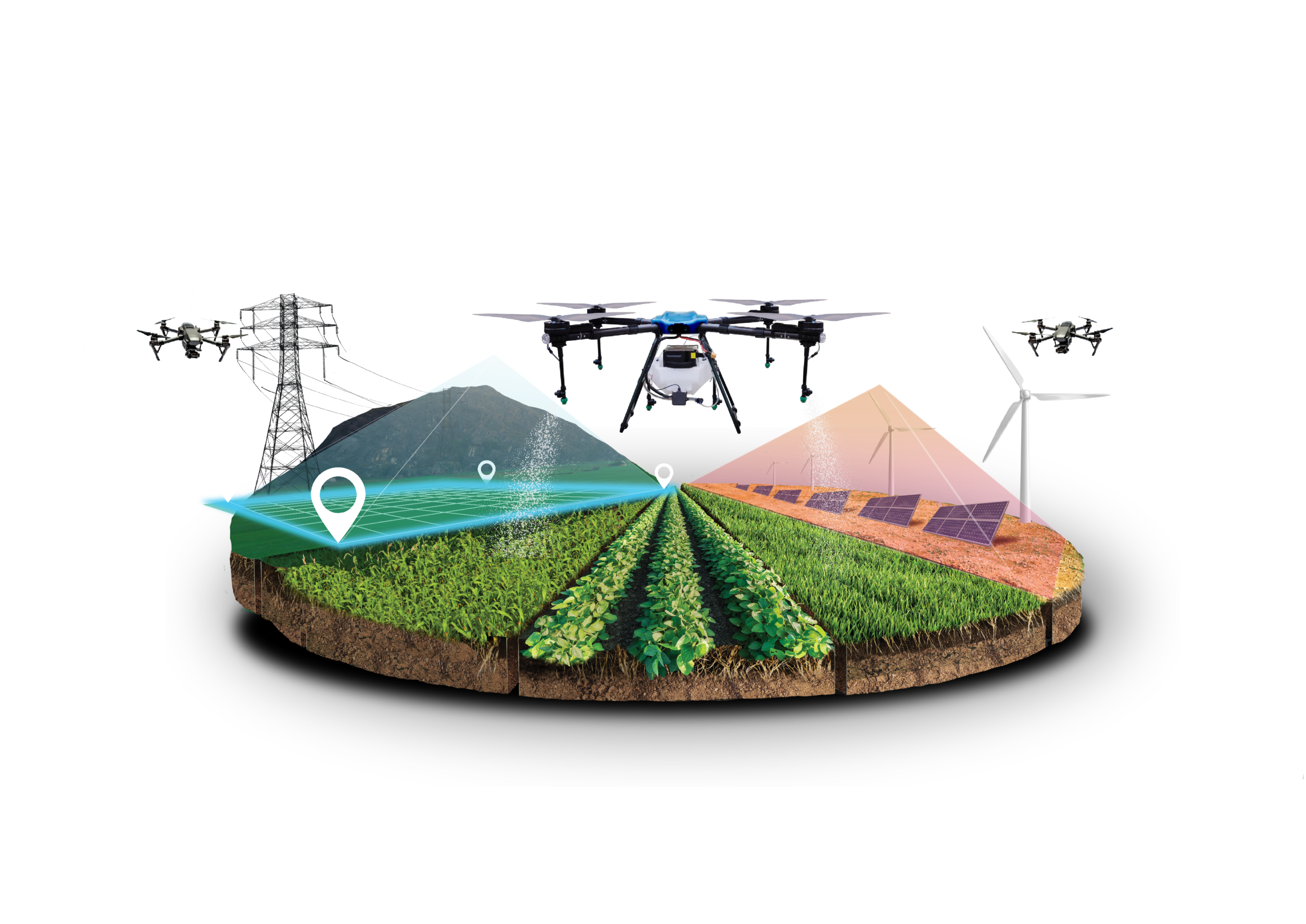
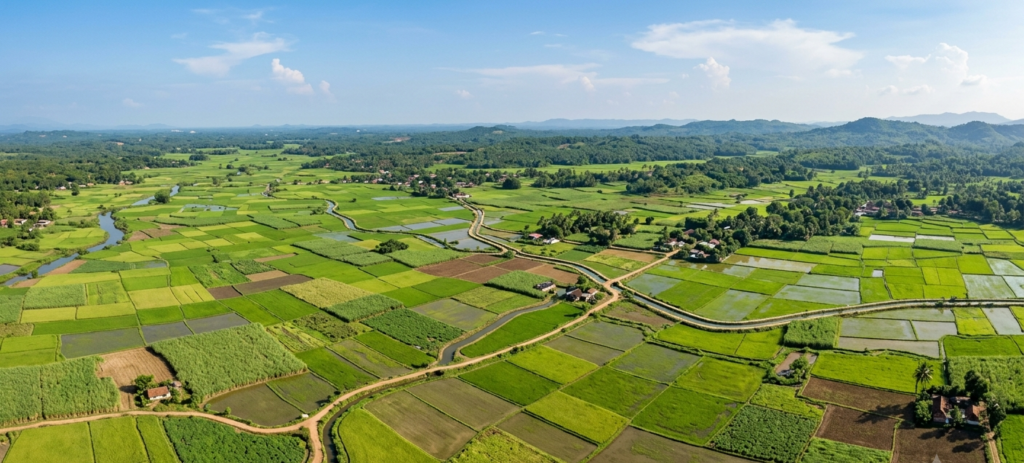
GIZAERO Drones delivers high-resolution aerial photography, videography, mapping, and AI-enhanced imaging services that help businesses capture, analyze, and present critical information with greater accuracy.
What We Do
Visuals built for clarity and impact
Video & Photo
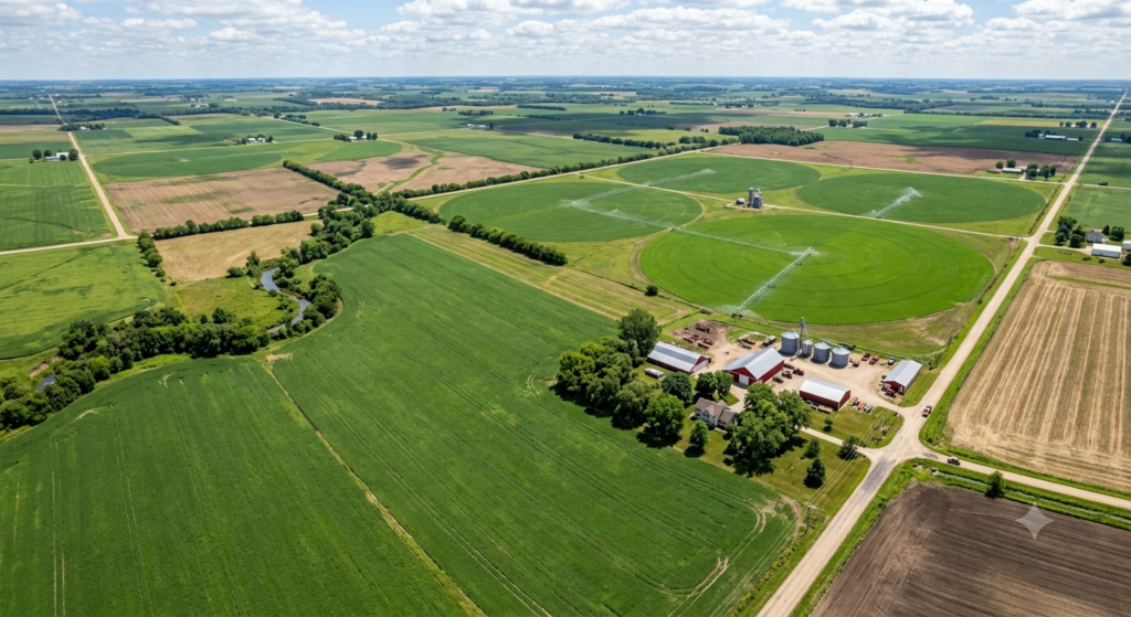
Professional aerial footage and still photography for sites, properties, infrastructure, and business promotion.
Documentation Support
Create clear visual records for project tracking, inspections, progress updates, and reporting.
AI-Enhanced Imaging
Use enhanced visual processing and intelligent analysis support to improve detail, presentation quality, and decision-making.
WHY IT MATTERS
Better visuals for marketing and documentation
Get Started
Need aerial imaging for your next project?
Talk to GIZAERO Drones about professional drone imaging for marketing, documentation, and operational visibility.